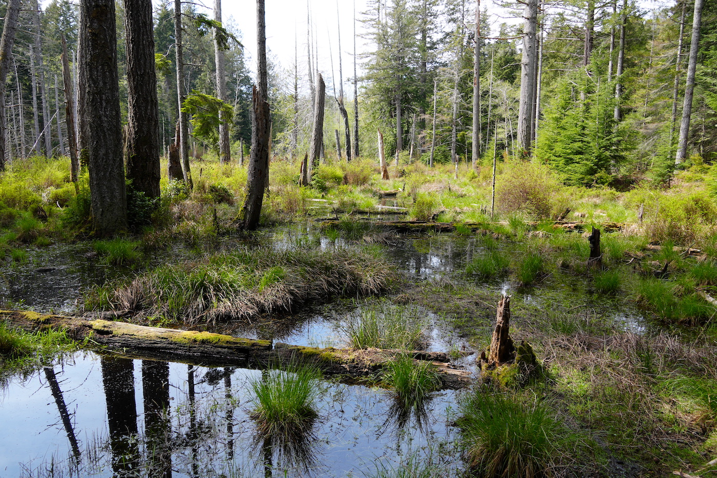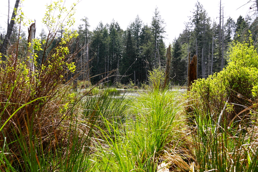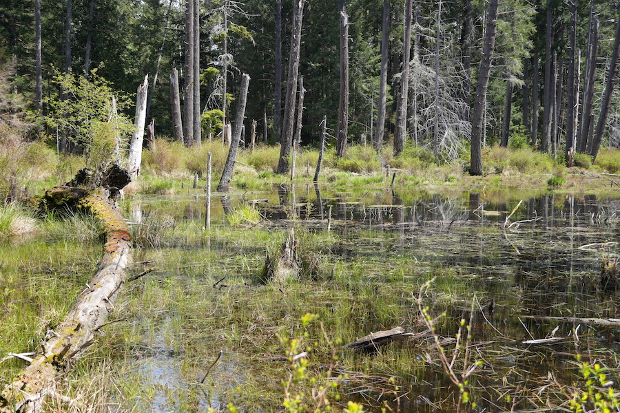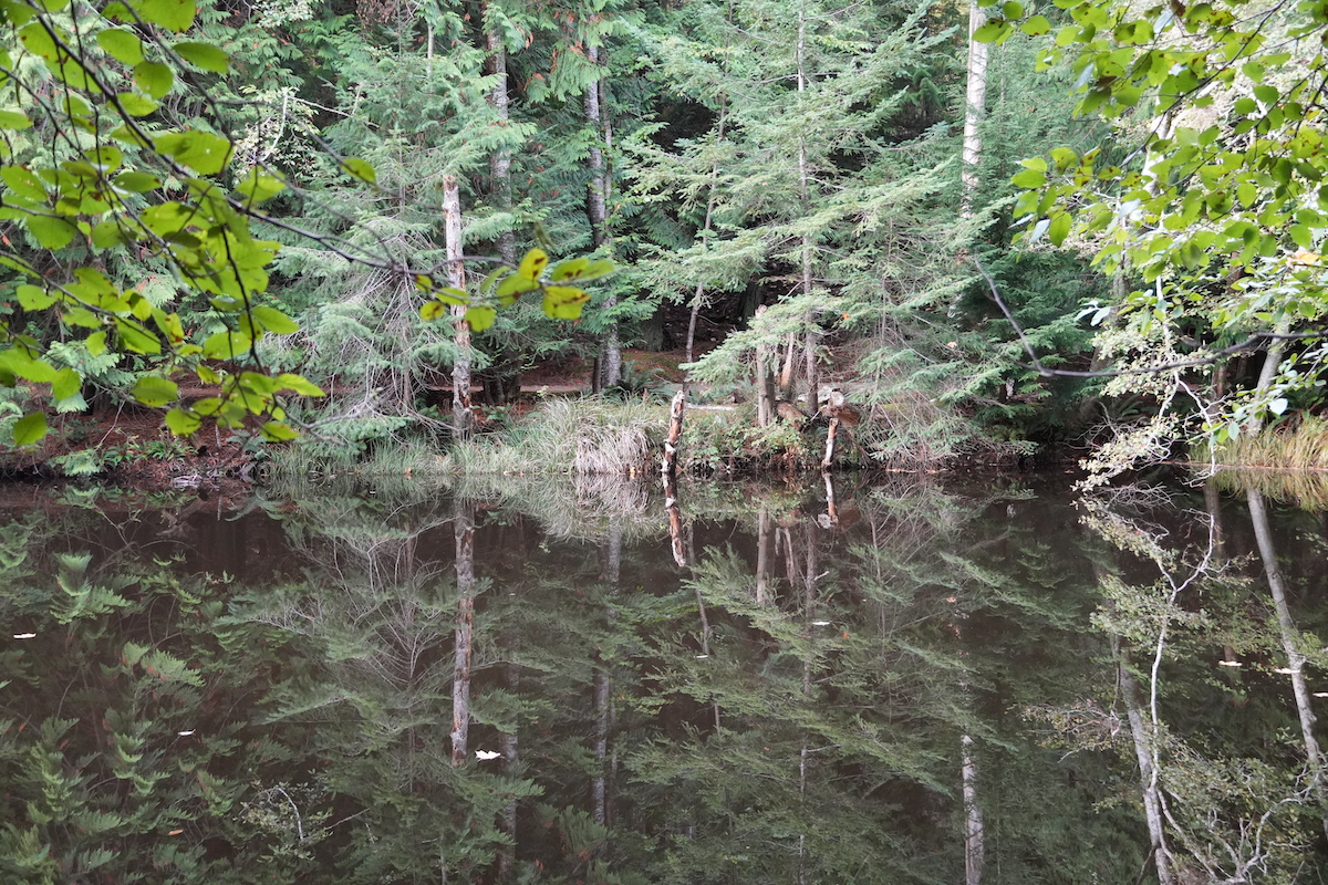
Livingstone Wetlands, Lasqueti, Spring 2024. Photo: Morgan Maher
Focus on Wetlands
by Ken Lertzman
Why are wetlands such a big deal? British Columbia’s wetlands cover about 5.3 million hectares (13 million acres), or approximately 5% of the land base. But their importance for ecosystem function and as habitat is far out of proportion to the small part of the land base they occupy. They provide critical habitat for fish, birds, and many otherkinds of wildlife. In fact, most wildlife species use wetland habitat at some point in their life cycle, even if they are associated with upland habitats at other times—and many red and blue listed species are wetland dependent. Streams, rivers, lakes, wetlands, and the riparian areas adjacent to them, are some of the most biodiverse ecosystems in the Islands Trust Area.
These features provide critical habitat for birds, fish, amphibians, insects, and plants, many of which have deep cultural importance to Lasqueti Island residents and the descendants of the Indigenous People who were here before us.

Wetlands play critical roles in the hydrology of watersheds, absorbing water quickly and releasing it slowly. They provide diverse “ecosystem services” that we all depend on. Wetlands absorb and filter sediments, can improve water quality by removing pollutants and excess nutrients, recharge groundwater, maintain stream flows, control runoff and store flood waters, reduce erosion, stabilize shorelines, and can play an important role in the carbon cycle. In many parts of the world most wetlands have been lost or damaged. Wetland restoration is a key tool to address a variety of environmental problems.
Historic land use patterns have significantly altered wet lands (and surface water ecosystems in general) and the important ecological functions and services they provide. In southern BC, estimates of how much wetland has been lost range from 60% to almost 100%, with the southwest coast and the Okanagan being the hardest hit areas. The impacts of changing climate further complicate the impacts of historical and ongoing development on watersheds. In coastal BC, we will see warmer, wetter winters (with lower spring snowpack) and longer, hotter, drier summers. This will create added stress for streams and wetlands, with many authors identifying wetlands as one of our most climate-sensitive ecosystems.
Furthermore, on Lasqueti, as elsewhere, population growth and its associated development pressures will continue to degrade wetland ecosystems. We are, thankfully, behind the curve on the land-use development pathway, but we only have to look elsewhere on the south coast to see a potentially sad future for our island watersheds.

LINC and the Xwe’etay/Lasqueti Archeology project are collaborating to locate wetlands and streams on Lasqueti—both those that exist now and those that existed prior to European settlement and land alteration. Freshwater and marine wetlands were places of great importance to ancient Indigenous peoples. In addition to mapping current wetlands, the Lasqueti Island Lost Stream and Wetland Project hopes to use local knowledge, historic air photos, and interviews with our elders, coupled with sophisticated GIS modeling, to “look back in time” to re-locate streams and wetlands that have been altered by historic land use.
Based on GIS modeling and on-site visits of selected wetlands and streams, we hope to create a series of maps and graphics of what “used to be” and “what is now”. These maps will be combined with the inventory of the island’s archaeological sites collected through the Xwe’etay/Lasqueti Archeology to look at the relationship between aquatic ecosystems and ancient Indigenous use of the island and changes over time.
“Wetlands provide critical habitat for fish, birds, and many other kinds of wildlife. In fact, most wildlife species use wetland habitat at some point in their life cycle, even if they are associated with upland habitats at other times—and many red and blue listed species are wetland dependent.”
How many different birds do you hear in this video?
Types of Wetlands
In Wetlands of British Columbia: a Guide to Identification Mackenzie and Moran describe a wide range of wetland types that are differentiated by their physical characteristics (such as pH, degree and consistency of inundation, and nutrient status) and the character of their plant communities. We have examples of many of these on Lasqueti. For those interested in details of the classification system, the physical environments provided by different wetland types, and the plant species and site associations, Mackenzie and Moran’s Wetland Guide is available as a free PDF from the provincial government’s website.
Bogs are nutrient poor, peaty wetlands with acidic surface waters. The source of water is typically rainfall accumulating directly, rather than drainage input via groundwater or surface flow. They are typically dominated by sphagnum mosses and Ericaceous (heather family) shrubs adapted to the high water table, acidity, and low nutrient availability.
Fens are peaty wetlands with more hydrologic connection to groundwater flow and thus a higher pH (more neutral) and higher mineral nutrient con- tent in the rooting zone than bogs. They are typically dominated by non-Ericaceous shrubs, sedges, grasses, reeds, and mosses.
Marshes are shallowly flooded (i.e. with some open water) wetland dominated by emergent grass-like vegetation. They are rich in nutrients. While the flooding persists for long periods, they typically have a fluctuating water table, with high water levels early in the year, which fall through the growing season.
Swamps have a semi-permanent high water table, leaving the sub-surface continuously waterlogged. They are nutrient rich and productive, can be forested, or dominated by a mix of trees and tall shrubs.
Low-medium and high-bench Floodplains are seasonally flooded during the growing season to varying degrees as a nearby aquatic ecosystem expands and contracts. They are often what are thought of as riparian forests, though in Mackenzie and Moran’s usage, “riparian” can refer to the interface of any wetland adjacent to a terrestrial ecosystem.
Shallow open water ecosystems generally have depths less than two metres in mid-summer and may appear free of emergent vegetation except around their margins.
Saline meadows, estuarine marshes and meadows:
Just as distinct ecosystems form at the boundary between freshwater and terrestrial ecosystems, distinct and ecologically important ecosystems develop at the boundary between the land and the sea. Salt marshes, meadows, and estuaries can be incredibly diverse and very productive ecosystems and often play critical roles in coastal carbon cycles. For those interested in the tropics, mangroves are intertidal forests—marine wetlands—that are biodiversity hotspots and provide critical protection from storm surges and hurricanes.
Wetlands on Lasqueti
Wetlands, swamps, and marshes are critical water resources not just for wildlife but for people too. Here on Lasqueti Island, with its shallow soils and exposed rock, the rain that falls runs off into the ocean quickly unless it is sucked up into a wetland and slowly drained away.
This means wetlands keep our micro-hydro systems running longer in the year. This means wetlands keep the streams we use for our drinking water flowing longer into the summer season. Wetlands recharge the underground aquifers that feed our ponds and wells.
However we are pretty lucky that the topography of Lasqueti has graced us with ponds, lakes and wetlands of all types scattered across the island providing all creatures, including all of us humans, with free water storage and filtration.

